top of page
SLATE ROOF HOUSE/ CHAMBER OF COMMERCE/ WELCOME PARK

131 S. 2nd Street; Philadelphia, PA 19106
Site Information: 13,454 sf
Assessors Parcel Number: 001S14 – 0227
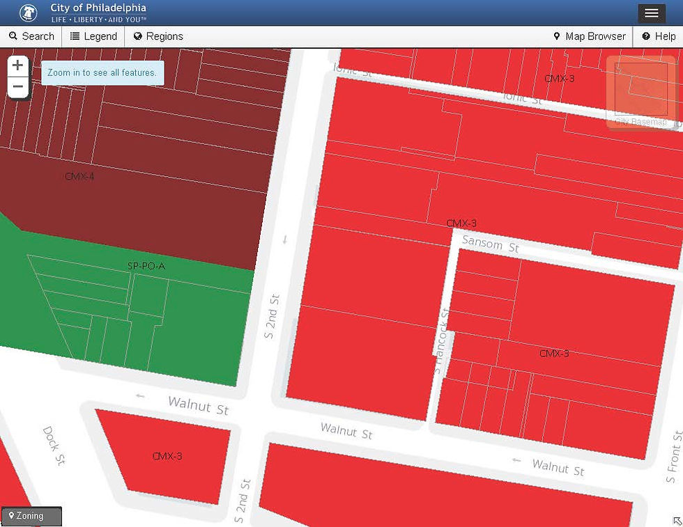
Zoning:
-
Current Land Use: Park/Open Space
-
Zoning permitted: CMX-3
Zoning Maps:
Number of Stories:
-
1864-1867: 2.5 stories
-
1870-1962: 6 stories
-
Current: 0 stories
Owner: unknown
Last Sold: 10-08-2015
Permits (Major Alterations Only)
-
N/A
Business License:
-
N/A
Additional Information:
http://www.phila.gov/data/Pages/default.aspx?entity=locationhistory&eid=631223

Parcel Map
Philadelphia Department of Records
2016 Zoning Map

2016 Zoning Guide

2016 Philadelphia Zoning guide

1933 zoning map
Source: Athenaeum of Philadelphia Creator: Philadelphia Zoning Board

1942 land use map
Source: Map Collection, Free Library of Philadelphia
bottom of page